
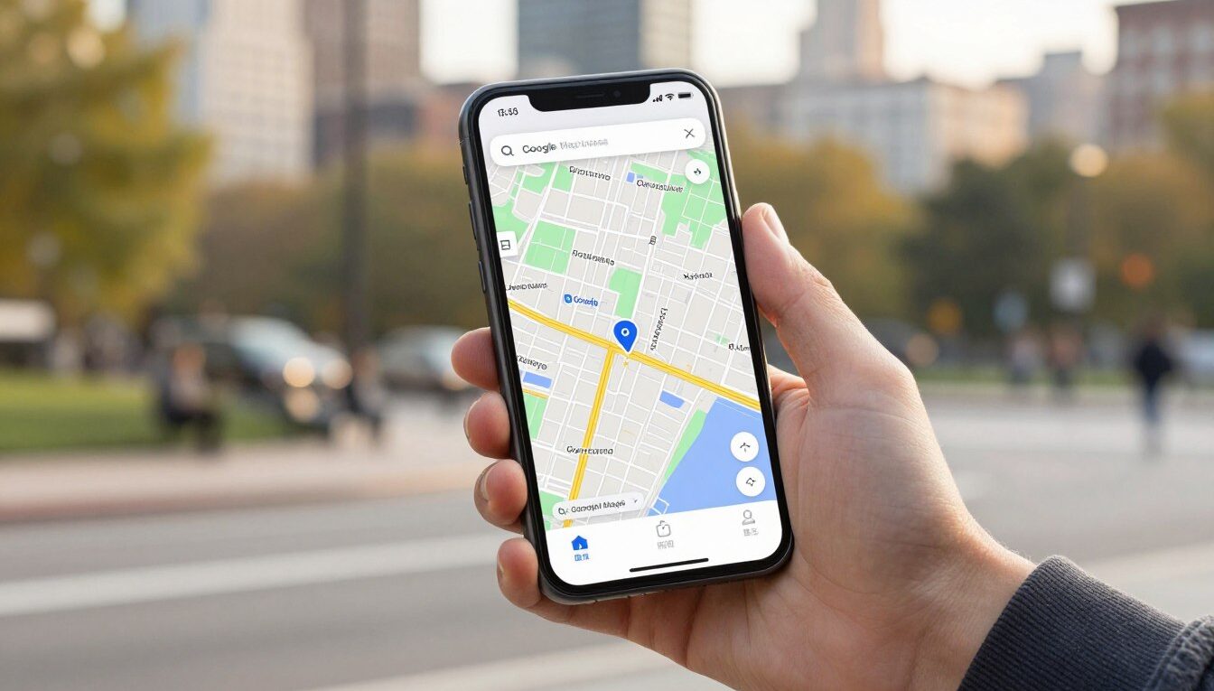
5 Google Maps Alternatives That Work Offline Without Draining Your Battery
Google Maps is powerful, but it is also heavy. Constant GPS polling, background data syncing, live traffic overlays, and Street View prefetching drain battery fast — especially on older phones or during long trips where you need navigation to last for hours. And when you lose cell signal in a tunnel, rural highway, or foreign country without a local SIM, the app can leave you stranded mid-route with a blank screen.
These five navigation apps offer reliable routing with full offline support and significantly lower battery consumption. We tested each one on real devices during actual trips to evaluate how they perform when connectivity drops and battery matters.
Why Consider an Alternative to Google Maps
There are three main reasons people look beyond Google Maps for their navigation needs:
- Battery life: Offline maps with pre-downloaded routes consume far less power than constant data streaming and live traffic updates. On a long drive, the difference between 4 hours of navigation and 2 hours before your phone dies is significant.
- Privacy: Google Maps builds a detailed profile of everywhere you go. Some alternatives collect minimal or zero location data, giving you navigation without surveillance.
- Reliability: Offline maps work regardless of signal strength. When you download a region in advance, navigation continues seamlessly through dead zones, basements, and international roaming situations.
How We Evaluated Each App
We tested each navigation app over multiple real-world scenarios: a daily 30-minute urban commute, a 4-hour highway road trip, and a hiking trail with zero cell reception. We measured battery drain per hour of active navigation, time to calculate routes offline, map download sizes, and how gracefully each app handled the transition between online and offline states.
1. HERE WeGo — Best for Urban Transit and International Travel
HERE WeGo draws on massive proprietary sensor and probe data — approximately 500 million kilometers of road data processed every hour — to deliver highly accurate routing across driving, walking, cycling, and public transit modes. You can download entire country or regional maps for offline use, and the app provides full turn-by-turn voice guidance without needing any data connection once downloaded.
Public transit directions are where HERE WeGo particularly shines. The app covers bus, subway, train, and ferry schedules in most major cities worldwide, including accurate walking directions between transit stops. For international travelers who switch between taxis, metro systems, and walking, this multi-modal routing is genuinely useful.
Map downloads are organized by country or region and sizes are reasonable — most European countries fit in 200–500MB. Once downloaded, search works offline too, so you can find restaurants, hotels, or addresses without connectivity. The app also shows real-time traffic when you are online, then seamlessly switches to offline routing when signal drops.
- Pros: Excellent transit data in 1,300+ cities, regional offline downloads with search, live traffic when online, multi-modal routing
- Cons: Interface can feel cluttered with options, proprietary data means less community contribution, occasional outdated POI info
- Battery impact: Moderate — noticeably lighter than Google Maps during active navigation due to efficient offline rendering
2. OsmAnd — Best for Hikers, Cyclists, and Outdoor Navigation
OsmAnd uses OpenStreetMap data and is built specifically for scenarios where you cannot rely on a data connection. It handles trail navigation, topographic contour views, elevation profiles, and GPX track recording — features that Google Maps barely supports even with full connectivity.
You can download maps by region with remarkable detail. Unlike most navigation apps that only store road networks, OsmAnd’s offline maps include hiking trails, mountain bike routes, ski runs, points of interest, and terrain data. The app can display slope gradients, trail difficulty ratings, and surface type information for paths and tracks.
For road navigation, OsmAnd provides turn-by-turn voice guidance, lane assist, speed limit warnings, and intermediate waypoints. It is more capable than most people expect for daily driving — the outdoor focus does not compromise road routing quality.
The learning curve is the steepest of any app on this list. OsmAnd has extensive settings, plugin systems, and customization options that can overwhelm new users. But once configured to your preferences, the depth of capability is unmatched for anyone who navigates beyond paved roads.
- Pros: Deepest offline capability available, hiking and cycling focus, GPX support, topographic views, open source base
- Cons: Steep learning curve, complex interface, initial setup takes time, free version limited to 7 map downloads
- Battery impact: Low — extremely efficient offline rendering, one of the lightest on battery during long navigation sessions
3. Organic Maps — Best for Privacy-First Users
Organic Maps started as a fork of Maps.Me after that app added tracking and advertising. The fork stripped all analytics, ads, and data collection entirely — what remains is a fast, clean navigation app that uses OpenStreetMap data and never communicates with any server beyond downloading map tiles.
The interface is noticeably faster than most alternatives. Maps render quickly, search responds instantly even offline, and route calculation takes seconds. The app feels lighter than its feature set would suggest because there are no background processes phoning home, no recommendation engines, and no ad SDKs consuming resources.
Navigation covers driving, walking, and cycling with turn-by-turn voice guidance. The routing quality is generally good for urban and suburban areas. Rural areas and newly built roads may occasionally have gaps since the app depends on OpenStreetMap community contributions for updates.
The entire codebase is open source and publicly auditable. There is no account creation, no sign-in, and no way for the app to identify you. If location privacy is non-negotiable for you, nothing else on this list matches Organic Maps.
- Pros: Zero tracking, fully ad-free, lightweight and fast, clean interface, open source, available on Play Store
- Cons: No transit directions, no live traffic, limited POI details compared to commercial options, occasional map data gaps
- Battery impact: Very low — minimal background activity and efficient map rendering make this one of the lightest options available
4. Sygic — Best for Drivers Who Want Premium Navigation Features
Sygic has been building GPS navigation software for over two decades, and that maturity shows. The app offers offline turn-by-turn voice guidance with high-quality maps from TomTom, real-time traffic information when online, speed camera and radar alerts, parking spot suggestions near your destination, fuel price comparisons along your route, and an augmented reality driving view that overlays navigation arrows on your live camera feed.
The AR mode deserves special mention: it uses your phone’s camera to show the real road ahead with navigation cues superimposed on it. At complex intersections or highway exits where traditional map views can be confusing, seeing exactly which lane to take overlaid on reality is genuinely helpful.
Map downloads are organized by country and are sourced from TomTom — commercial-grade data that tends to be more current than community-sourced alternatives for road networks, speed limits, and turn restrictions. Offline routing quality is excellent.
The free tier provides basic offline navigation. Premium features (AR view, speed cameras, traffic, parking, fuel prices) require a subscription at around $20/year or a lifetime purchase option. For daily commuters who want the most polished experience, the cost is reasonable given the feature depth.
- Pros: AR navigation view, TomTom map quality, speed cameras, fuel prices, parking assistance, polished interface
- Cons: Full features require subscription, larger map download sizes, proprietary and closed-source
- Battery impact: Moderate — heavier than open-source options due to richer rendering, but still lighter than Google Maps with live traffic
5. Waze — Best for Community-Powered Real-Time Routing
Waze is community-driven navigation where millions of users report accidents, police presence, road hazards, construction, and closures in real time. The routing algorithm ingests these reports immediately and reroutes you around problems before you reach them — often diverting through side streets that a traditional algorithm would never suggest but that save real time.
For daily commuters dealing with unpredictable traffic, this crowdsourced intelligence is genuinely valuable. Waze users typically report saving 5–15 minutes on commutes compared to following static routes, because the app reacts to accidents and congestion within minutes of them occurring.
The moderation system verifies reports through consensus — when multiple users confirm a hazard, it gets promoted; when users drive past without confirming, it expires. This keeps the map relatively clean of false reports while remaining responsive to genuine incidents.
The important limitation: Waze requires a data connection for its real-time reporting to work. It does not offer true offline map downloads like the other four apps on this list. Without connectivity, it reverts to basic cached routing that may not cover your full journey. Battery use is also higher than pure offline apps because of constant data exchange with the community network.
Think of Waze as a complement to a true offline app rather than a standalone solution. Use it for your daily commute where connectivity is reliable and real-time hazard avoidance matters, and keep an offline-capable app downloaded as your fallback for trips into areas with poor reception.
- Pros: Live hazard reports, intelligent rerouting, speed trap warnings, active global community, free
- Cons: Requires data connection, no true offline maps, owned by Google (privacy implications), higher battery use
- Battery impact: Higher — constant data exchange and GPS plus community features make this the most battery-intensive option listed
Comparison Table
| App | Offline Maps | Privacy | Battery Impact | Best For | Cost |
|---|---|---|---|---|---|
| HERE WeGo | Full | Moderate | Moderate | Transit + travel | Free |
| OsmAnd | Full | High | Low | Hiking + outdoor | Free / paid |
| Organic Maps | Full | Maximum | Very low | Privacy-first users | Free |
| Sygic | Full | Moderate | Moderate | Drivers + commuters | Free / subscription |
| Waze | Limited cache | Low | Higher | Real-time traffic | Free |
How to Choose the Right One
Match the app to your primary navigation scenario:
- City commuter using buses and trains: HERE WeGo — unmatched transit coverage in major cities
- Hiker, cyclist, or outdoor enthusiast: OsmAnd — deepest trail and terrain data available
- Privacy is non-negotiable: Organic Maps — zero tracking, zero compromise
- Daily driver wanting premium features: Sygic — AR navigation, cameras, and commercial-grade maps
- Commuter in traffic-heavy areas: Waze as primary + Organic Maps or OsmAnd as offline backup
Setup Tips for Offline Navigation
Regardless of which app you choose, follow these steps to ensure reliable offline navigation:
- Download maps for your region on Wi-Fi before you need them — do not wait until you are already driving
- Test a route to a known destination while offline to confirm everything works
- Keep maps updated monthly — road networks change and outdated data leads to wrong turns
- Check available storage before downloading — country-level maps can be 200–800MB each
- Disable battery optimization for your navigation app so Android does not kill it during long routes
A navigation app that works without signal is not a convenience — it is a safety net. Download your maps now, test them once, and you will never be stranded by a dead zone again.

Noah Carter is a mobile tech writer focused on Android performance, minimalist phone setups, and lightweight app alternatives. He has spent years testing budget and mid-range devices to find practical tweaks that make everyday smartphones faster, simpler, and easier to use — without rooting, without bloat, and without unnecessary complexity. His work on News Mobile covers everything from battery optimization to accessibility setups for seniors.